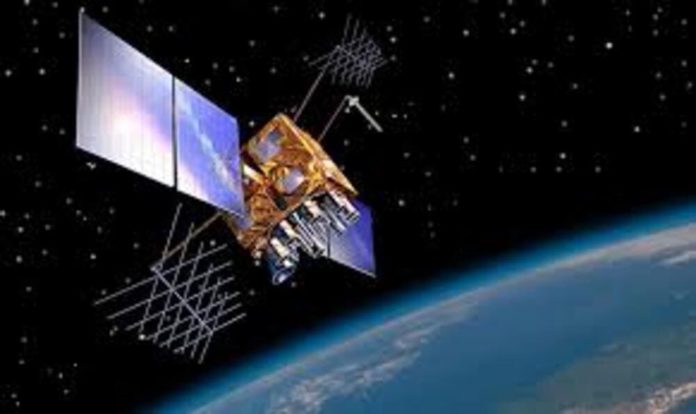
IRNSS-1I (Indian Regional Navigation Satellite System) is an autonomous regional satellite navigation system providing accurate positioning and real-time synchronisation.
| Name of Satellite | IRNSS-1I (Indian Regional Navigation Satellite System) |
| Purpose | Navigation/Regional Positioning |
| Contractor | IRSO Satellite Center |
| Country of Contractor | India |
| Launch Mass (kg.) | 1 425 |
| Class of Orbit | GEO |
| Perigee (km) | 35 702 |
| Expected Lifetime (yrs.) | 10 |
| Date of Launch | 11.04.2018 |
| Launch Site | Satish Dhawan Space Centre |
| Launch Vehicle | PSLV |
| COSPAR Number | 2018-035A |
| NORAD Number | 43286 |
IRNSS Navigation Satellite covers India and a region of 1,500 kilometres (930 miles) around it, with plans for further expansion.


